
Photo: Ank Kumar · CC BY-SA 4.0
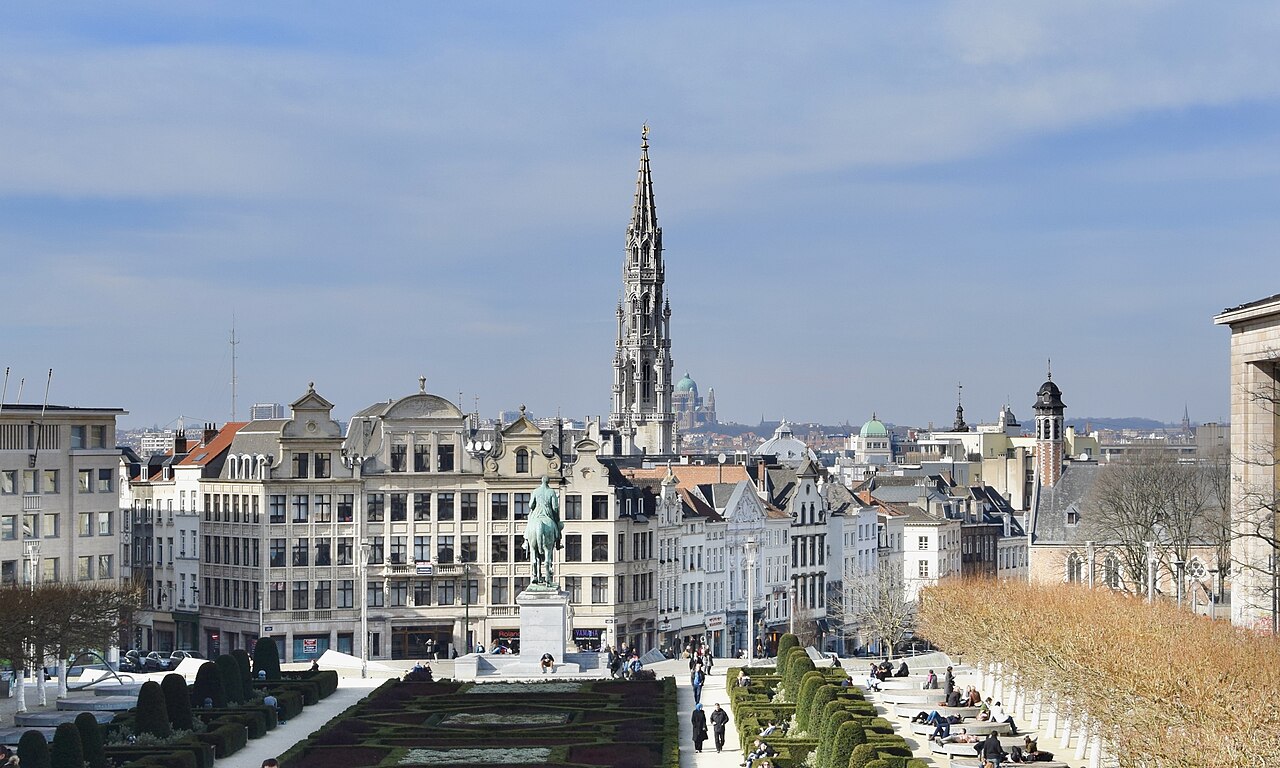
Brussels
The Belgian capital and its dense urban pattern sit close to the representative corridor.
BelgiumFrankfurt Airport (FRA) to John F. Kennedy International Airport (JFK)
Reviewed example route · About 6,196 km
Actual flight paths and visibility can change.
Illustration · Interactive route map
Finding more scenery. You can explore the route below.
Places along the route
Window sides are estimates for this example route.
Photo: Ank Kumar · CC BY-SA 4.0
The Belgian capital and its dense urban pattern sit close to the representative corridor.
BelgiumWales’s highest mountain landscape may appear beyond the right wing in clear conditions.
Wales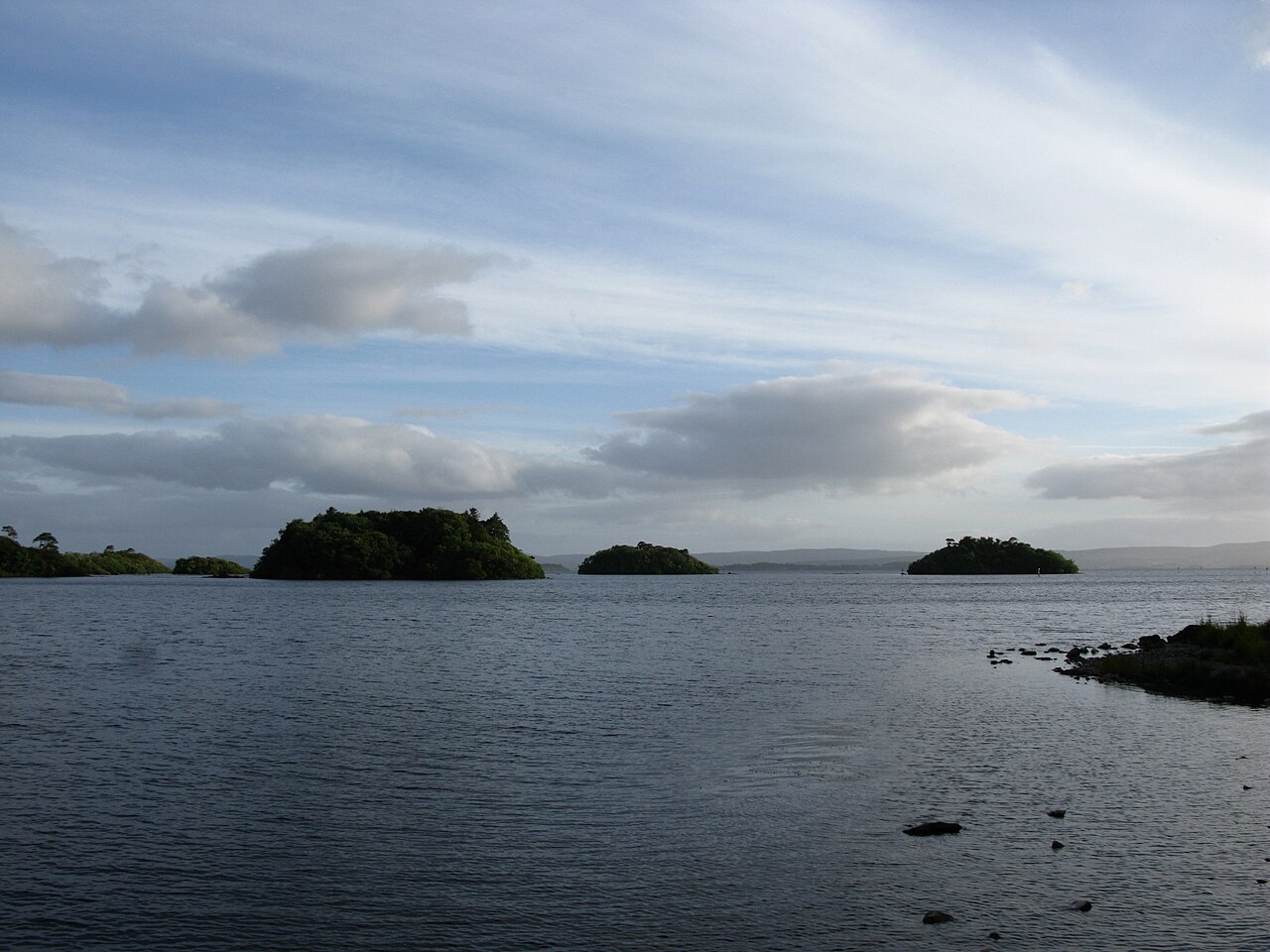
Photo: Jlahorn · CC BY-SA 3.0
Ireland’s largest lake entirely within the Republic has an irregular shoreline that stands out from altitude.
IrelandA rugged Atlantic coastline, valleys and high plateau mark the return to land.
Nova Scotia, CanadaThe long tidal bay separates New Brunswick and Nova Scotia and may be visible near the horizon.
Canada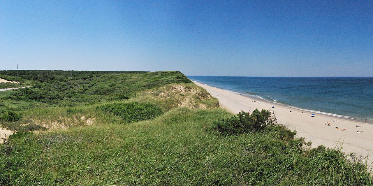
Photo: Matt H. Wade · CC BY-SA 3.0
The hooked Massachusetts peninsula is one of the final major coastal forms before New York.
Massachusetts, United StatesDense city lights and the Atlantic shoreline can become visible during the approach sequence.
New York, United StatesFlying this route?
Save the journey, prepare its scenery and let What’s ahead show what is coming past your window as you fly.
Avyloft for iPhone is coming to the App Store. Your first eligible flight is included.
Your route at a glance
This map connects Frankfurt Airport (FRA) in Germany with John F. Kennedy International Airport (JFK) in United States. The estimated route shown covers about 6,196 km.
Move along the map to explore the journey and nearby places. The path is a guide, not live aircraft tracking: weather, airspace and airline routing can change where you fly. Flight times and cloud information are not assumed from an airport pair alone.
Looking for another journey? Search by city or airport code.