
13%Belgium
Brussels
The Belgian capital may appear south of the aircraft before the Channel crossing.
BelgiumHeathrow Airport (LHR) to Istanbul Airport (IST)
Reviewed example route · About 2,489 km
Actual flight paths and visibility can change.
Illustration · Interactive route map
Finding more scenery. You can explore the route below.
Places along the route
Window sides are estimates for this example route.
The Belgian capital may appear south of the aircraft before the Channel crossing.
BelgiumThe capital’s wooded ravines and compact center lie close to the flight corridor.
LuxembourgA broad limestone escarpment crosses almost directly beneath the route.
Germany
Photo: Jorge Franganillo · CC BY 2.0
The compact historic city sits on the Salzach River at the northern edge of the Alps.
Austria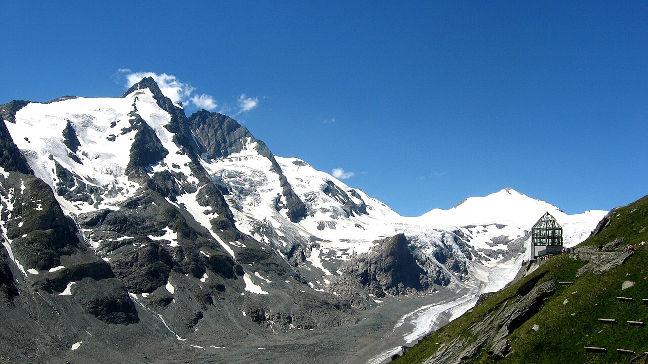
Photo: Michieliosios · CC BY-SA 3.0
Austria’s highest summit stands prominently within the High Tauern range.
AustriaA sharp limestone section of the Alps lies almost directly beneath this representative corridor.
SloveniaBulgaria’s highest mountain group rises south of the representative track.
Bulgaria
Photo: Thomas Berwing · CC BY-SA 4.0
The Bosphorus divides Europe and Asia beside one of the world’s largest urban areas.
TürkiyeFlying this route?
Save the journey, prepare its scenery and let What’s ahead show what is coming past your window as you fly.
Avyloft for iPhone is coming to the App Store. Your first eligible flight is included.
Your route at a glance
This map connects Heathrow Airport (LHR) in United Kingdom with Istanbul Airport (IST) in Türkiye. The estimated route shown covers about 2,489 km.
Move along the map to explore the journey and nearby places. The path is a guide, not live aircraft tracking: weather, airspace and airline routing can change where you fly. Flight times and cloud information are not assumed from an airport pair alone.
Looking for another journey? Search by city or airport code.